Reading view

There are new articles available, click to refresh the page.

How NASA Is Homing in From Space on Ocean Debris

Detergent bottles and other litter can travel thousands of miles across the ocean before washing up on the remote Island of Kaho’olawe in Hawaii. JPL remote-sensing technology recently showed that it can spot plastic pollution on land, but doing so in the sea presents challenges.
NOAA

Space-based technology could help track plastic and other flotsam by its ‘fingerprints.’

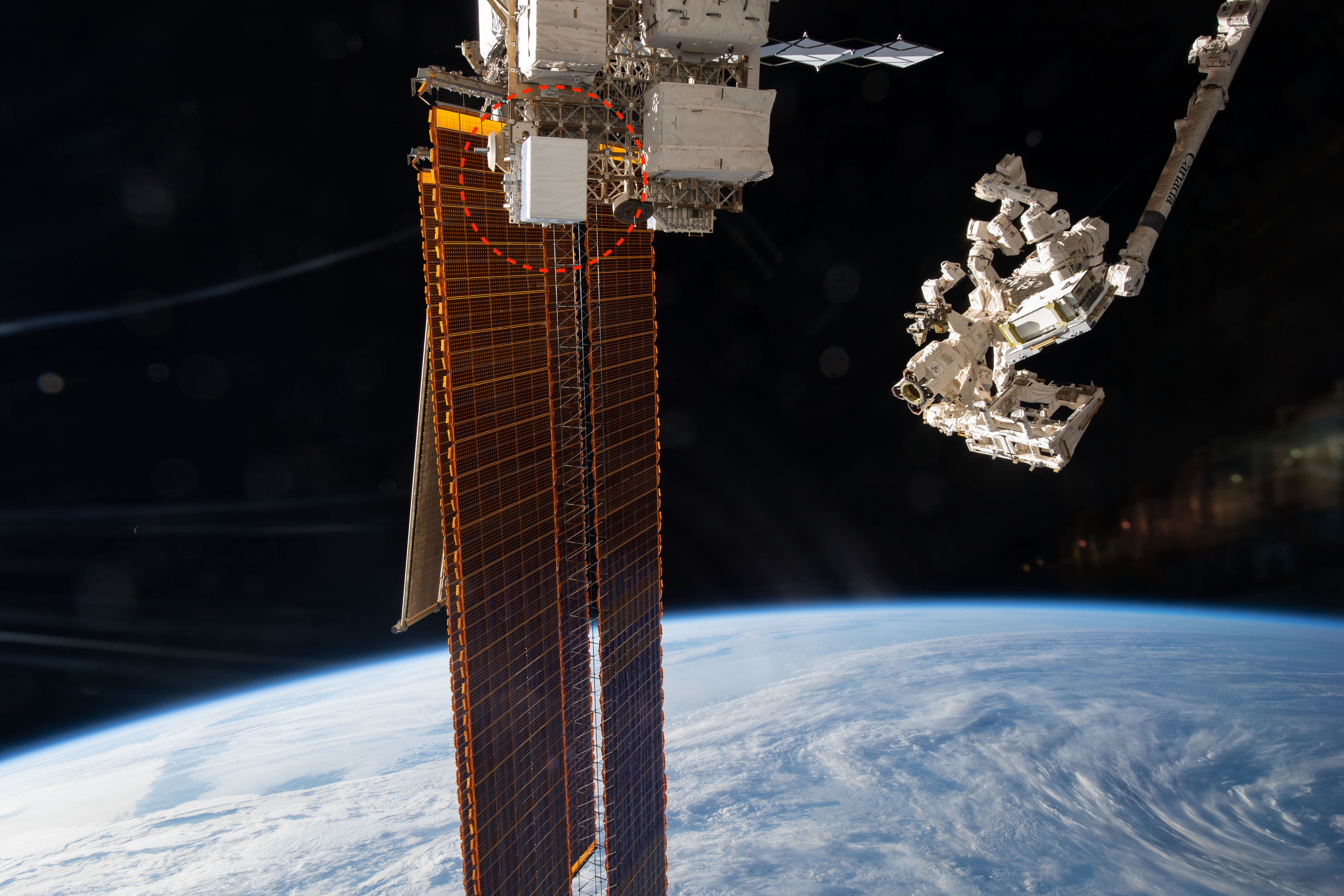
In late 2025, scientists reported that, for the first time, they were able to detect concentrations of plastic pollution on land using NASA’s Earth Surface Mineral Dust Source Investigation (EMIT) sensor aboard the International Space Station. The technology has inspired marine researchers to see whether it could also help track debris in our waters.

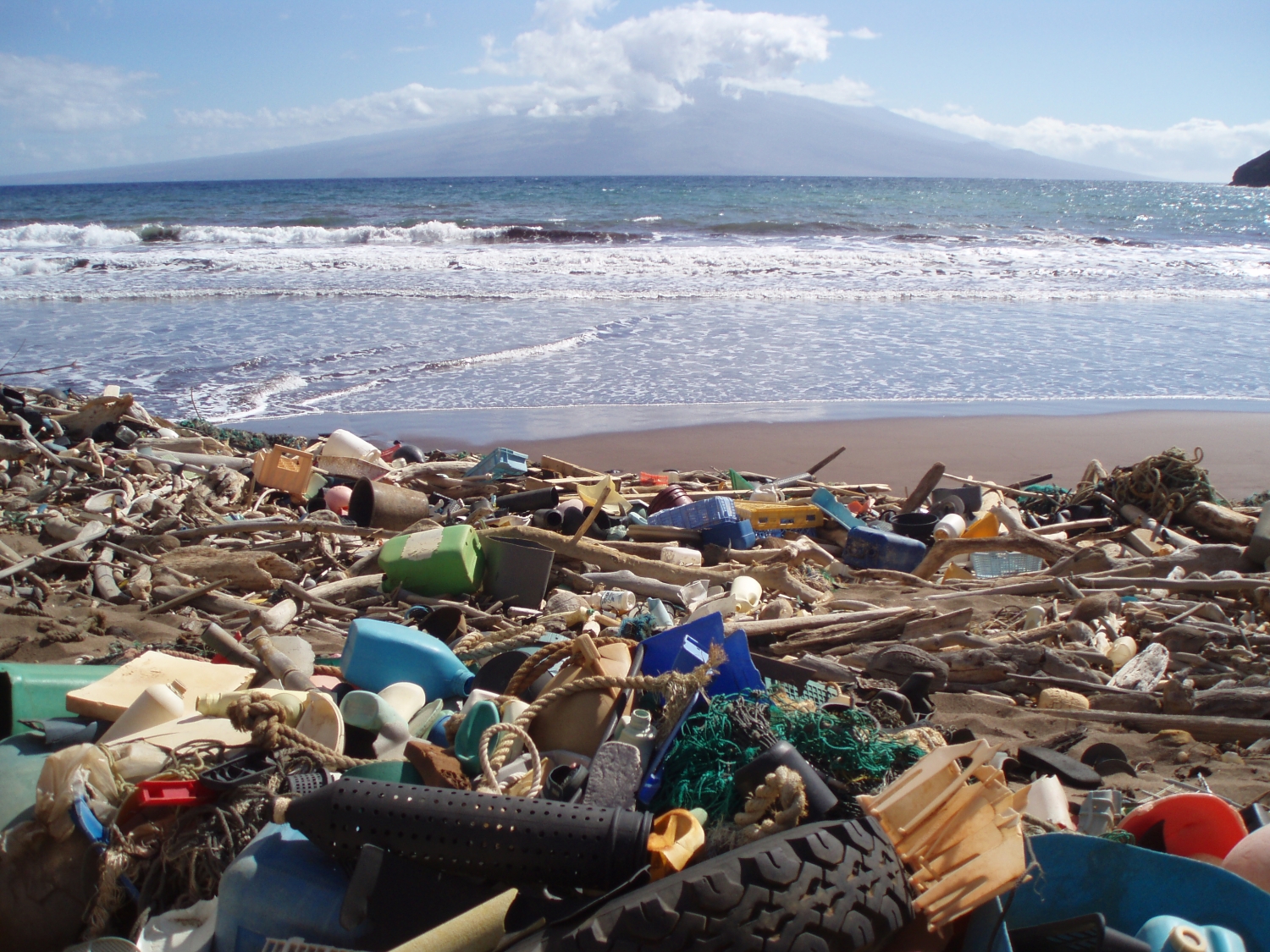
Before future generations of sensors like EMIT can be called upon to detect ocean litter, scientists need to know what to look for. Working with collaborators, NASA intern Ashley Ohall has built a newly published reference library containing nearly 25,000 molecular “fingerprints” from all manner of flotsam and jetsam, including rope, tires, metal, bubble wrap, buoys, and bottle caps. Given the overwhelming presence of plastic in marine debris, the library includes some 19 types of polymer.

NASA’s EMIT, shown in the red circle, was launched to the International Space Station in 2022 to map minerals. Its data is now advancing fields from agriculture to water science.
NASA

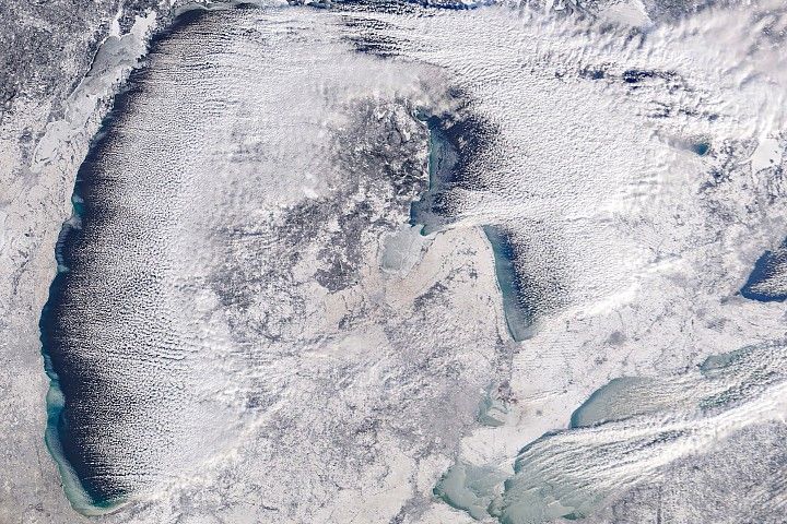
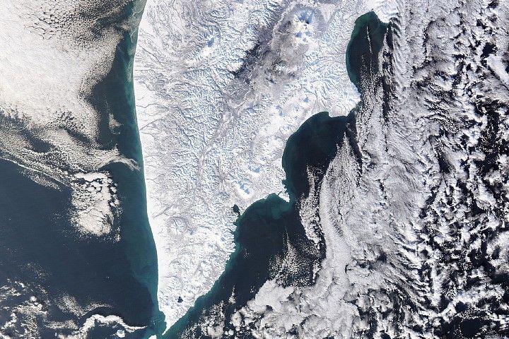
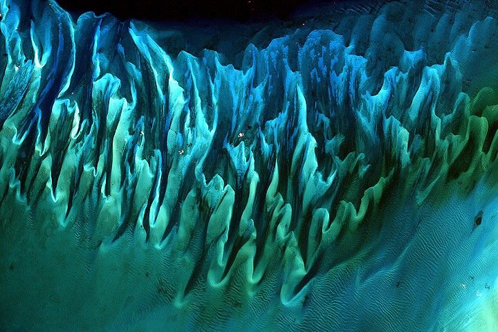
Most of the estimated 8 million tons or more of plastic that enter the ocean every year comes from land, so mapping pollution hot spots near coastlines could be a first step toward reducing what ends up on beaches and washed out to sea. That’s exactly what NASA’s sensor showed it could do, though detecting plastic wasn’t its first mission. Launched in 2022, EMIT maps minerals across desert regions to help determine how the dust can heat or cool the atmosphere.

But the instrument has proved itself incredibly nimble. From its perch on the space station, it can identify hundreds of compounds on Earth via the unique spectral patterns they make in reflected sunlight. The technology behind EMIT, called imaging spectroscopy, was pioneered at NASA’s Jet Propulsion Laboratory in Southern California and is used on missions throughout the solar system. One of EMIT’s cousins discovered lunar water in 2009, and another is set to return to the Moon to help future astronauts identify scientifically valuable areas to sample.

Marine scientist Ashley Ohall checked out aircraft at NASA’s Langley Research Center in Hampton, Virginia, during her recent internship with the agency in which she led the creation of a spectral library containing nearly 25,000 molecular “fingerprints” from all manner of debris.
Kelsey Bisson

The same technology has now shown that it can find plastic compounds in landfills and large-scale structures like greenhouses, said JPL’s David Thompson, who coauthored the 2025 study. However, detecting plastic once it enters the ocean is more challenging: Seawater absorbs infrared light, masking many of plastic’s prominent spectral features.

Litter library

That’s where the work of Ohall and her collaborators comes in. Their open-source library compiles the work of many researchers over the years who’ve analyzed marine debris using handheld instruments in laboratories. Standardizing the various datasets into one searchable repository is crucial because different kinds of debris have slightly different spectra based on material, color, and condition. Weathered water bottles, for example, “look” different than washed-up hurricane detritus. Once the patterns are known, detection algorithms can be developed.

Carried by ocean currents, debris can travel thousands of miles from the source, so a better understanding of where it is and where it’s headed could be a boon for public health and coastal tourism, said Ohall, a Florida native who recently graduated from the University of Georgia.

“My biggest hope is that people see remote sensing as an important and useful tool for marine debris monitoring,” Ohall said. “Just because it hasn’t been done yet doesn’t mean it can’t be done.”

Planet-scale challenge

Conventional methods for quantifying plastic in the ocean — including dragging nets through garbage patches — can’t sample the millions of tons that flow in. With NASA’s support, scientists are learning more about the ability of existing sensors as well as what’s still needed to spot marine debris. Teams are also training AI tools to sift through satellite imagery.

It remains a planet-scale endeavor, said Kelsey Bisson, a program manager at NASA Headquarters in Washington. The groundwork being done by Ohall and other scientists brings us a step closer to leveraging a powerful technology flying in air and space today.

“Humans have a visceral connection to the ocean and its health,” Bisson said. “Detecting marine debris is the kind of incredible challenge that NASA can help solve.”

To learn more about EMIT, visit:

https://earth.jpl.nasa.gov/emit/

Media Contacts

Andrew Wang / Andrew Good
Jet Propulsion Laboratory, Pasadena, Calif.
626-379-6874 / 818-393-2433
andrew.wang@jpl.nasa.gov / andrew.c.good@jpl.nasa.gov

Written by Sally Younger

2026-003

NASA Reveals New Details About Dark Matter’s Influence on Universe

Containing nearly 800,000 galaxies, this image from NASA’s James Webb Space Telescope is overlaid with a map of dark matter, represented in blue. Researchers used Webb data to find the invisible substance via its gravitational influence on regular matter.
NASA/STScI/J. DePasquale/A. Pagan

With the Webb telescope’s unprecedented sensitivity, scientists are learning more about dark matter’s influence on stars, galaxies, and even planets like Earth.

Scientists using data from NASA’s James Webb Space Telescope have made one of the most detailed, high-resolution maps of dark matter ever produced. It shows how the invisible, ghostly material overlaps and intertwines with “regular” matter, the stuff that makes up stars, galaxies, and everything we can see.

Published Monday, Jan. 26, in Nature Astronomy, the map builds on previous research to provide additional confirmation and new details about how dark matter has shaped the universe on the largest scales — galaxy clusters millions of light-years across — that ultimately give rise to galaxies, stars, and planets like Earth.

“This is the largest dark matter map we’ve made with Webb, and it’s twice as sharp as any dark matter map made by other observatories,” said Diana Scognamiglio, lead author of the paper and an astrophysicist at NASA’s Jet Propulsion Laboratory in Southern California. “Previously, we were looking at a blurry picture of dark matter. Now we’re seeing the invisible scaffolding of the universe in stunning detail, thanks to Webb’s incredible resolution.”

Created using data from NASA’s Webb telescope in 2026 (right) and from the Hubble Space Telescope in 2007 (left), these images show the presence of dark matter in the same region of sky. Webb’s higher resolution is providing new insights into how this invisible component influences the distribution of ordinary matter in the universe.
NASA/STScI/A. Pagan
Dense regions of dark matter are connected by lower-density filaments, forming a weblike structure known as the cosmic web. This pattern appears more clearly in the Webb data than in the earlier Hubble image. Ordinary matter, including galaxies, tends to trace this same underlying structure shaped by dark matter.
NASA/STScI/A. Pagan
Some dark matter structures appear smaller in the Webb data because they are coming into sharper focus. Webb’s higher resolution also makes it possible to better confine the size and location of the dark matter clusters in the lower left of the image.
NASA/STScI/A. Pagan

Dark matter doesn’t emit, reflect, absorb, or even block light, and it passes through regular matter like a ghost. But it does interact with the universe through gravity, something the map shows with a new level of clarity. Evidence for this interaction lies in the degree of overlap between dark matter and regular matter. According to the paper’s authors, Webb’s observations confirm that this close alignment can’t be a coincidence but, rather, is due to dark matter’s gravity pulling regular matter toward it throughout cosmic history.

“Wherever we see a big cluster of thousands of galaxies, we also see an equally massive amount of dark matter in the same place. And when we see a thin string of regular matter connecting two of those clusters, we see a string of dark matter as well,” said Richard Massey, an astrophysicist at Durham University in the United Kingdom and a coauthor of the new study. “It’s not just that they have the same shapes. This map shows us that dark matter and regular matter have always been in the same place. They grew up together.”

Closer look

Found in the constellation Sextans, the area covered by the new map is a section of sky about 2.5 times larger than the full Moon. A global community of scientists have observed this region with at least 15 ground- and space-based telescopes for the Cosmic Evolution Survey (COSMOS). Their goal: to precisely measure the location of regular matter here and then compare it to the location of dark matter. The first dark matter map of the area was made in 2007 using data from NASA’s Hubble Space Telescope, a project led by Massey and JPL astrophysicist Jason Rhodes, a coauthor of the paper.

Webb peered at this region for a total of about 255 hours and identified nearly 800,000 galaxies, some of which were detected for the first time. Scognamiglio and her colleagues then looked for dark matter by observing how its mass curves space itself, which in turn bends the light traveling to Earth from distant galaxies. When observed by researchers, it’s as if the light of those galaxies has passed through a warped windowpane.

The Webb map contains about 10 times more galaxies than maps of the area made by ground-based observatories and twice as many as Hubble’s. It reveals new clumps of dark matter and captures a higher-resolution view of the areas previously seen by Hubble.

To refine measurements of the distance to many galaxies for the map, the team used Webb’s Mid-Infrared Instrument (MIRI), designed and managed through launch by JPL, along with other space- and ground-based telescopes. The wavelengths that MIRI detects also make it adept at detecting galaxies obscured by cosmic dust clouds.

Why it matters

When the universe began, regular matter and dark matter were probably sparsely distributed. Scientists think dark matter began to clump together first and that those dark matter clumps then pulled together regular matter, creating regions with enough material for stars and galaxies to begin to form.

In this way, dark matter determined the large-scale distribution of galaxies in the universe. And by prompting galaxy and star formation to begin earlier than they would have otherwise, dark matter’s influence also played a role in creating the conditions for planets to eventually form. That’s because the first generations of stars were responsible for turning hydrogen and helium — which made up the vast majority of atoms in the early universe — into the rich array of elements that now compose planets like Earth. In other words, dark matter provided more time for complex planets to form.

“This map provides stronger evidence that without dark matter, we might not have the elements in our galaxy that allowed life to appear,” said Rhodes. “Dark matter is not something we encounter in our everyday life on Earth, or even in our solar system, but it has definitely influenced us.”

Scognamiglio and some of her coauthors will also map dark matter with NASA’s upcoming Nancy Grace Roman Space Telescope over an area 4,400 times bigger than the COSMOS region. Roman’s primary science goals include learning more about dark matter’s fundamental properties and how they may or may not have changed over cosmic history. But Roman’s maps won’t beat Webb’s spatial resolution. More detailed looks at dark matter will be possible only with a next-generation telescope like the Habitable Worlds Observatory, NASA’s next astrophysics flagship concept.

More about Webb

The James Webb Space Telescope is solving mysteries in our solar system, looking beyond to distant worlds around other stars, and probing the mysterious structures and origins of our universe and our place in it. Webb is an international program led by NASA with its partners, ESA (European Space Agency) and CSA (Canadian Space Agency).

To learn more about Webb, visit:

https://science.nasa.gov/webb

Media Contacts

Calla Cofield / Ian O’Neill
Jet Propulsion Laboratory, Pasadena, Calif.
626-808-2469 / 818-354-2649
calla.e.cofield@jpl.nasa.gov / ian.j.oneill@jpl.nasa.gov

2026-002

NASA’s Perseverance Mars Rover Ready to Roll for Miles in Years Ahead

NASA’s Perseverance Mars rover captured this view of a location nicknamed “Mont Musard” on Sept. 8, 2025. Made up of three images, the panorama also captures another region, “Lac de Charmes,” where the rover’s team will be looking for more rock core samples to collect in the year ahead.
NASA/JPL-Caltech/ASU/MSSS

After nearly five years on Mars, NASA’s Perseverance rover has traveled almost 25 miles (40 kilometers), and the mission team has been busy testing the rover’s durability and gathering new science findings on the way to a new region nicknamed “Lac de Charmes,” where it will be searching for rocks to sample in the coming year.

Like its predecessor Curiosity, which has been exploring a different region of Mars since 2012, Perseverance was made for the long haul. NASA’s Jet Propulsion Laboratory in Southern California, which built Perseverance and leads the mission, has continued testing the rover’s parts here on Earth to make sure the six-wheeled scientist will be strong for years to come. This past summer, JPL certified that the rotary actuators that turn the rover’s wheels can perform optimally for at least another 37 miles (60 kilometers); comparable brake testing is underway as well.

Over the past two years, engineers have extensively evaluated nearly all the vehicle’s subsystems in this way, concluding that they can operate until at least 2031.

NASA’s Perseverance used its navigation cameras to capture its record-breaking drive of 1,350.7 feet (411.7 meters) on June 19, 2025. The navcam images were combined with rover data and placed into a 3D virtual environment, resulting in this reconstruction with virtual frames inserted about every 4 inches (0.1 meters) of drive progress. Credit: NASA/JPL-Caltech

“These tests show the rover is in excellent shape,” said Perseverance’s deputy project manager, Steve Lee of JPL, who presented the results on Wednesday at the American Geophysical Union’s annual meeting, the largest gathering of planetary scientists in the United States. “All the systems are fully capable of supporting a very long-term mission to extensively explore this fascinating region of Mars.”

Perseverance has been driving through Mars’ Jezero Crater, the site of an ancient lake and river system, where it has been collecting scientifically compelling rock core samples. In fact, in September, the team announced that a sample from a rock nicknamed “Cheyava Falls” contains a potential fingerprint of past microbial life.

More efficient roving

In addition to a hefty suite of six science instruments, Perseverance packs more autonomous capabilities than past rovers. A paper published recently in IEEE Transactions on Field Robotics highlights an autonomous planning tool called Enhanced Autonomous Navigation, or ENav. The software looks up to 50 feet (15 meters) ahead for potential hazards, then chooses a path without obstacles and tells Perseverance’s wheels how to steer there.

Engineers at JPL meticulously plan each day of the rover’s activities on Mars. But once the rover starts driving, it’s on its own and sometimes has to react to unexpected obstacles in the terrain. Past rovers could do this to some degree, but not if these obstacles were clustered near each other. They also couldn’t react as far in advance, resulting in the vehicles driving slower while approaching sand pits, rocks, and ledges. In contrast, ENav’s algorithm evaluates each rover wheel independently against the elevation of terrain, trade-offs between different routes, and “keep-in” or “keep-out” areas marked by human operators for the path ahead.

“More than 90% of Perseverance’s journey has relied on autonomous driving, making it possible to quickly collect a diverse range of samples,” said JPL autonomy researcher Hiro Ono, a paper lead author. “As humans go to the Moon and even Mars in the future, long-range autonomous driving will become more critical to exploring these worlds.”

New science

A paper published Wednesday in Science details what Perseverance discovered in the “Margin Unit,” a geologic area at the margin, or inner edge, of Jezero Crater. The rover collected three samples from that region. Scientists think these samples may be particularly useful for showing how ancient rocks from Mars’ deep interior interacted with water and the atmosphere, helping create conditions supportive for life.

From September 2023 to November 2024, Perseverance ascended 1,312 feet (400 meters) of the Margin Unit, studying rocks along the way — especially those containing the mineral olivine. Scientists use minerals as timekeepers because crystals within them can record details about the precise moment and conditions in which they formed.

Jezero Crater and the surrounding area holds large reserves of olivine, which forms at high temperatures, typically deep within a planet, and offers a snapshot of what was going on in the planet’s interior. Scientists think the Margin Unit’s olivine was made in an intrusion, a process where magma pushes into underground layers and cools into igneous rock. In this case, erosion later exposed that rock to the surface, where it could interact with water from the crater’s ancient lake and carbon dioxide, which was abundant in the planet’s early atmosphere.

Those interactions form new minerals called carbonates, which can preserve signs of past life, along with clues as to how Mars’ atmosphere changed over time.

“This combination of olivine and carbonate was a major factor in the choice to land at Jezero Crater,” said the new paper’s lead author, Perseverance science team member Ken Williford of Blue Marble Space Institute of Science in Seattle. “These minerals are powerful recorders of planetary evolution and the potential for life.”

Together, the olivine and carbonates record the interplay between rock, water, and atmosphere inside the crater, including how each changed over time. The Margin Unit’s olivine appeared to have been altered by water at the base of the unit, where it would have been submerged. But the higher Perseverance went, the more the olivine bore textures associated with magma chambers, like crystallization, and fewer signs of water alteration.

As Perseverance leaves the Margin Unit behind for Lac de Charmes, the team will have the chance to collect new olivine-rich samples and compare the differences between the two areas.

More about Perseverance

Managed for NASA by Caltech, NASA’s Jet Propulsion Laboratory in Southern California built and manages operations of the Perseverance rover on behalf of the agency’s Science Mission Directorate as part of NASA’s Mars Exploration Program portfolio.

To learn more about Perseverance, visit:

https://science.nasa.gov/mission/mars-2020-perseverance

News Media Contacts

Andrew Good / DC Agle
Jet Propulsion Laboratory, Pasadena, Calif.
818-393-2433 / 818-393-9011
andrew.c.good@jpl.nasa.gov / agle@jpl.nasa.gov

Karen Fox / Molly Wasser
NASA Headquarters, Washington
240-285-5155 / 240-419-1732
karen.c.fox@nasa.gov / molly.l.wasser@nasa.gov

2025-143

💾

This video shows the Perseverance Mars Rover’s point of view during a record-breaking drive that occurred June 19, 2025, the 1,540th Martian day, or sol, of ...
❌